1 / 5
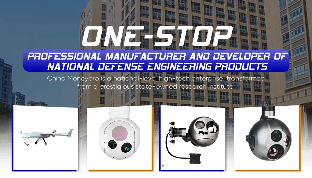
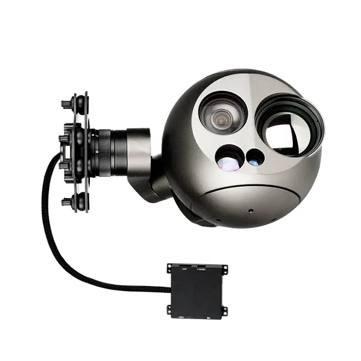
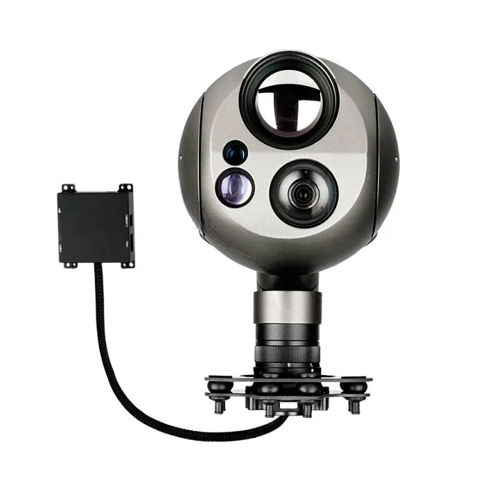
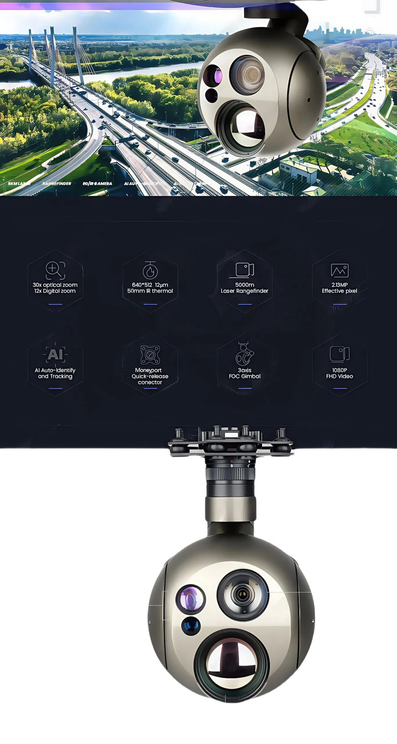
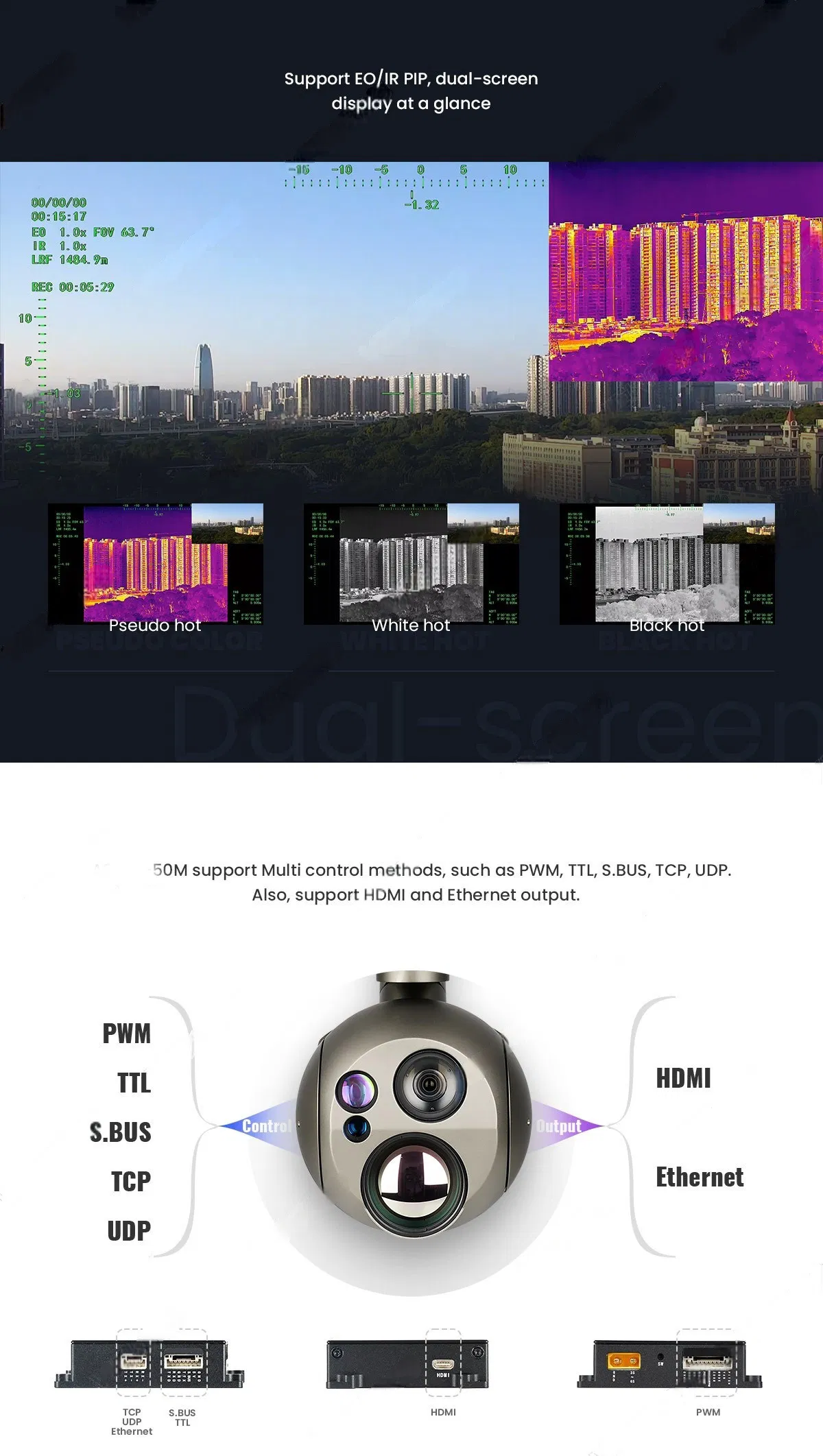
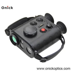
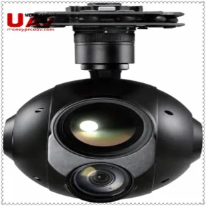
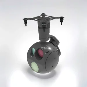
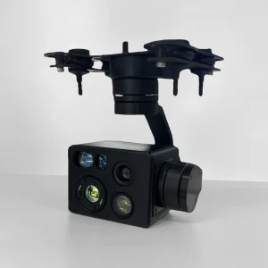
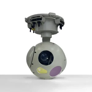
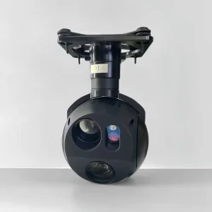
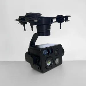
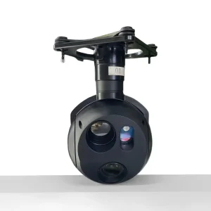
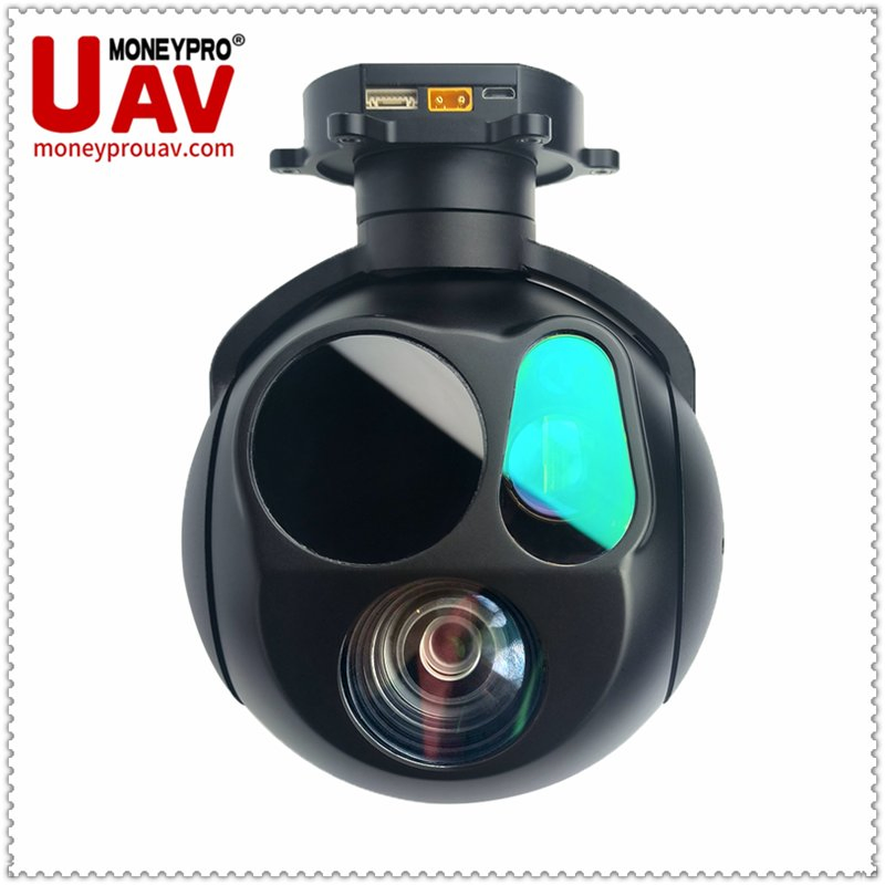
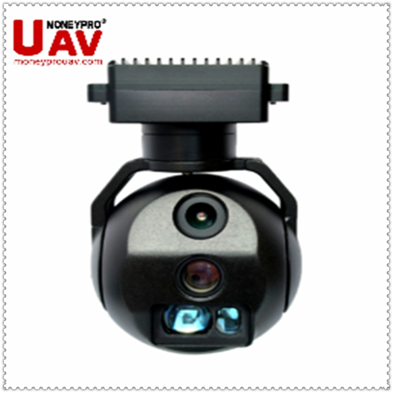
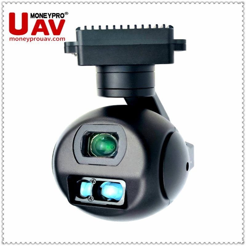
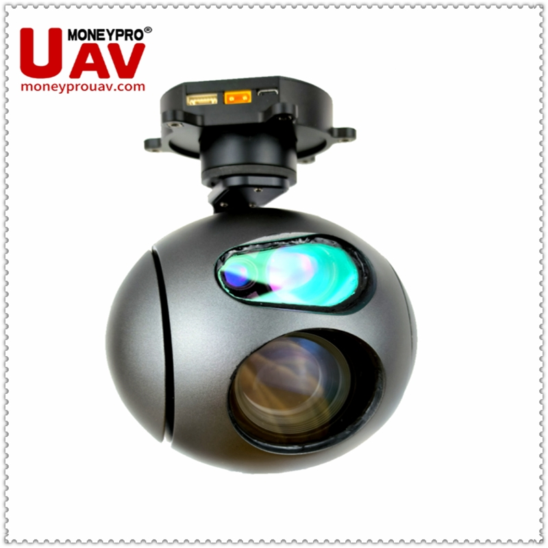
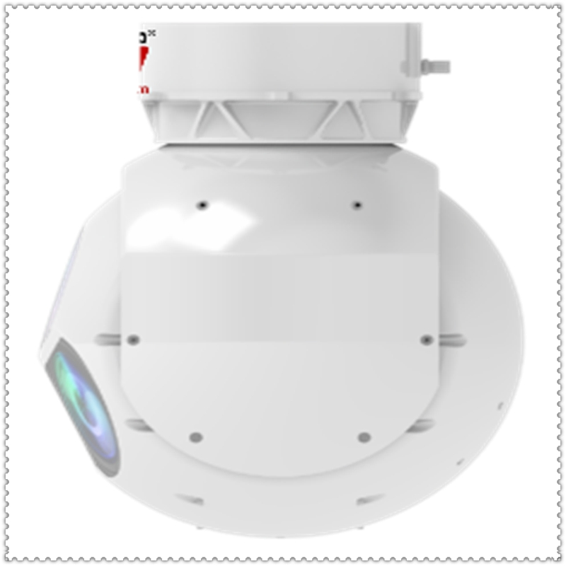
Advanced thermal imaging systems that detect minute temperature differences to reveal heat signatures through darkness, smoke, dust, or challenging weather. These systems support precise temperature measurement and real-time analytics.
| Sensor | Specifications | Detection Range |
|---|---|---|
| EO (Day) | 2.1MP, 30x Optical, 12x Digital, 1080P FHD | Human Detected @2KM+ |
| IR (Night/Thermal) | 640×512, 12μm Pixel, 50mm Lens | Heat Signatures @1.5KM |
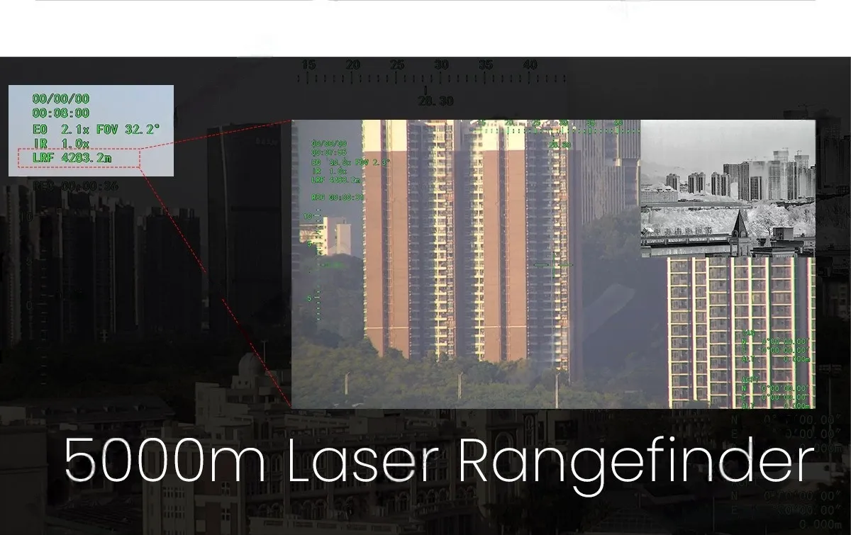
| Laser Rangefinder | 5000m Max Range, GPS Targeting | Coordinates Overlay |
| Industry | Use Case | Key Technology |
|---|---|---|
| Border Patrol | Illegal activity tracking | 5KM LRF + AI follow |
| Search & Rescue | Nighttime victim location | Thermal + STARVIS fusion |
| Oil & Gas | Pipeline leak detection | 50mm IR thermal zoom |
| Infrastructure | Power line monitoring | AI defect recognition |