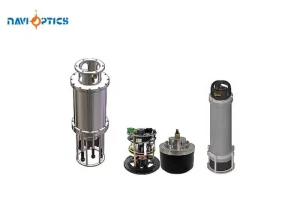
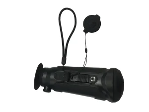
Explore our flagship catalog featuring high-precision industrial thermography systems, uncooled detector modules, and specialized surveying equipment designed for sub-surface thermal mapping.

How high-resolution LWIR sensors and non-destructive testing (NDT) are redefining archaeological mapping and heritage preservation globally.
In modern cultural resource management (CRM) and archaeological surveying, the search for subsurface structures, ancient foundations, and buried agricultural footprints is increasingly reliant on non-destructive technology. Active and passive Archaeological Thermal Surveying Cameras have emerged as critical tools. By measuring minute surface temperature variations driven by differences in the thermal inertia of subsurface objects compared to their surrounding soil matrix, these advanced infrared sensors allow geophysicists and archaeologists to map out structural layouts without breaking ground.
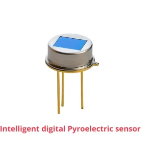
As standard geophysical methods like Ground Penetrating Radar (GPR) and magnetometry can be slow and labor-intensive, thermal imaging cameras mounted on Unmanned Aerial Vehicles (UAVs) provide a rapid, high-yield alternative. They map wide geographic expanses during optimal diurnal temperature cycles, detecting the heat footprint of buried brick walls, stone columns, pathways, and ancient ditch systems. The scientific baseline is simple but demands precision: stone and compact earth absorb heat during the day and release it at a different rate than loose topsoil or moist agricultural ditches. This thermal difference, often measuring fractions of a degree Kelvin, can be mapped cleanly by advanced uncooled microbolometers with high thermal sensitivity.
A soil's capacity to store and conduct heat is determined by its density, mineral composition, and moisture content. Subsurface stone structures possess a higher thermal inertia than loose silt or sandy clay, meaning they heat up more slowly under solar radiation and retain heat longer after sunset. Aerial thermal sensors sweep these zones at dawn or dusk when the thermal contrast between subsurface masonry and background soils peaks. To resolve these thermal variations, which are typically under 0.1°C, detectors must feature an extremely low Noise Equivalent Temperature Difference (NETD), ideally <30mK or <40mK.
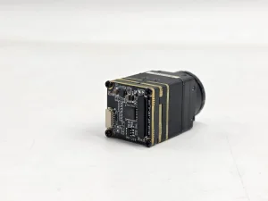
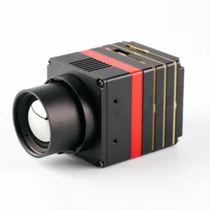
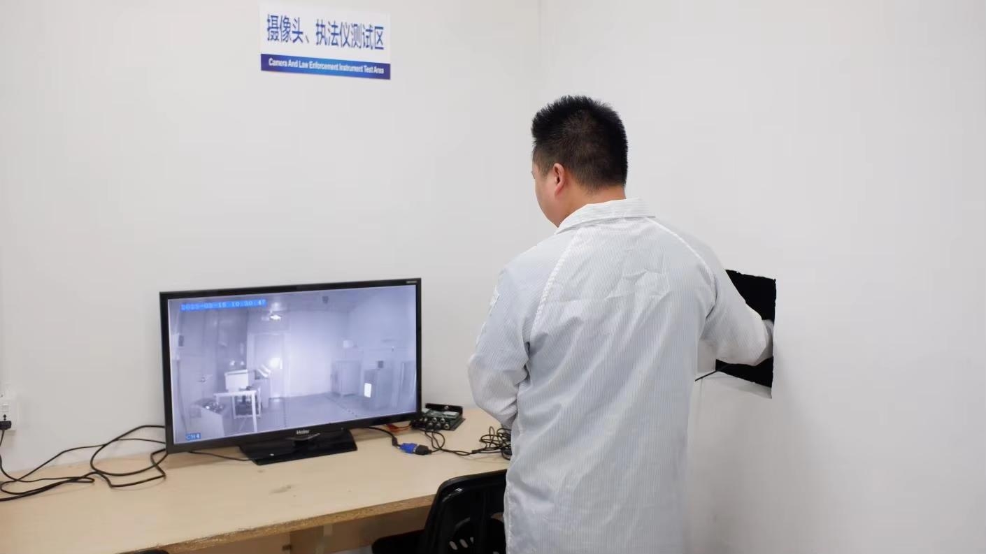
Hubei Sema Image Co., Ltd. is a prominent developer and manufacturer specializing in the infrared and thermal imaging industry. Our products and solutions are renowned for their superior performance and competitive edge in professional applications, driven by a strong foundation of independent intellectual property rights. As a leader in this field, we focus primarily on Thermal Imaging Cameras, which serve as our flagship product, along with a wide range of complementary technologies such as infrared detectors, thermal camera cores and modules.
These solutions cater to various terminal applications, delivering high-quality thermal imaging for sectors such as security, industrial monitoring, automotive, healthcare, and specialized archaeological exploration. Our products have been successfully deployed in over 90 countries and regions, meeting the diverse needs of global customers and providing them with unparalleled imaging capabilities.
With a dedicated workforce of over 1,200 employees, nearly 50% of whom are engaged in research and development, we are constantly pushing the boundaries of innovation. To date, we have accumulated more than 700 intellectual property rights, covering breakthrough technologies in areas such as IC design, MEMS sensors, advanced image processing algorithms like Matrix III, and AI-driven temperature measurement algorithms (AI-Temp). These innovations are central to our core product offerings, including our Thermal Imaging Cameras, which are designed to deliver the highest levels of accuracy, reliability, and efficiency in capturing and analyzing thermal data.
Our thermal surveying solutions are widely used across a range of critical applications such as epidemic prevention and control, industrial temperature measurement, security monitoring, fire prevention, night vision, autonomous driving, and machine vision. These cameras provide real-time, high-resolution thermal images, allowing users to detect temperature anomalies and potential hazards with ease. They are also a key component in IoT and AI systems, where precision and speed are crucial.
Beyond our thermal imaging products, we continue to develop and enhance solutions that incorporate artificial intelligence, machine learning, and advanced sensing technologies, enabling more intelligent and precise thermal imaging applications. As industries evolve and demand more sophisticated solutions, Hubei Sema Image Co., Ltd. remains committed to being at the forefront of thermal imaging technology, offering state-of-the-art solutions that help our clients achieve greater operational efficiency, safety, and success.
Our innovative spirit and relentless dedication to R&D have positioned us as a trusted partner for industries such as defense, automotive, healthcare, manufacturing, public safety, and geophysics. With a deep commitment to quality and customer satisfaction, Hubei Sema Image Co., Ltd. is determined to drive the future of thermal imaging technology and continue delivering products that make a tangible impact across the globe.
Analyzing global procurement standards, technology trends, and China's Factory 4.0 production advantages.
Global archaeological institutes, environmental consulting firms, and defense procurement networks look for robust payloads with SWaP-C (Size, Weight, Power, and Cost) optimization. Key requirements include uncooled LWIR sensor resolutions of at least 640x512 pixels, sub-30mK sensitivity, calibrated temperature metrics (radiometric output), and open API platforms for integration with UAV autopilots and GIS systems.
China's thermal camera manufacturing sector has transitioned to an integrated Factory 4.0 model. Standardizing high-vacuum packaging (WLP) and ceramic packaging for uncooled detectors allows factories to secure complete vertical supply chains. From MEMS sensor design to SMT assembly and automated thermal testing, this integration ensures fast delivery times and consistent calibration quality.
Modern archaeological thermography relies heavily on advanced image processing. Algorithms such as Matrix III non-uniformity correction, spatial resolution enhancement, and deep learning-based micro-contrast stretching help resolve subtle subsurface variations that would otherwise be lost in thermal clutter and soil noise.
Real-world deployment scenarios demonstrating how thermal camera cores perform in diverse geographic environments.
In dry, sandy soils like those of the Middle East, stone ruins and mudbrick foundations show distinct thermal signatures. Our high-resolution thermal camera modules capture these anomalies at twilight when the sand cools rapidly while the underlying masonry retains heat, revealing clear town layouts and ancient fortifications.
While thermal cameras cannot see directly through dense tree canopies, they map temperature variations in surface soils, ground vegetation, and moisture paths. This helps locate old water channels, buried structural mounds, and stone pathways covered by light ground cover.
Moisture plays a critical role in thermal differences. Wet soils conduct heat differently than dry soils. Our cameras detect buried ditches, old moats, and drainage networks because they retain water, creating clear thermal paths that are highly visible during post-rain dry-off periods.
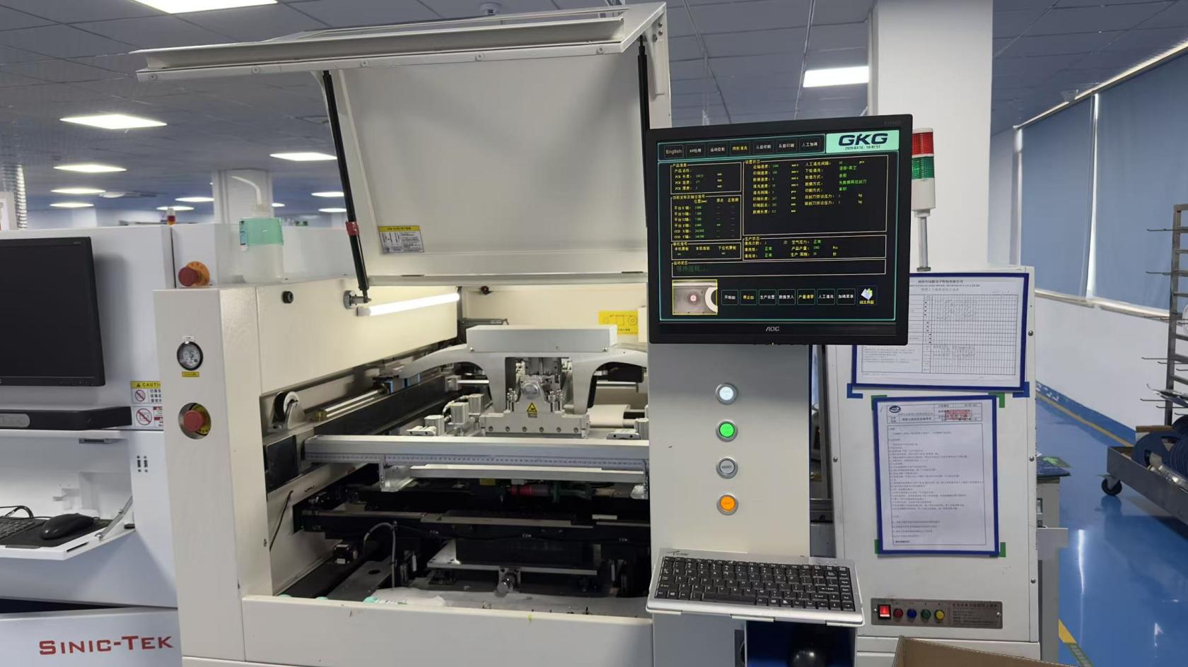
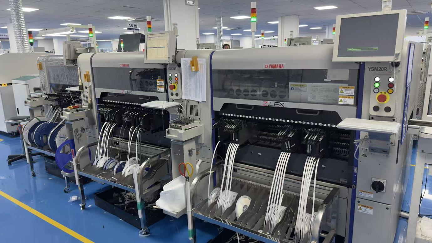
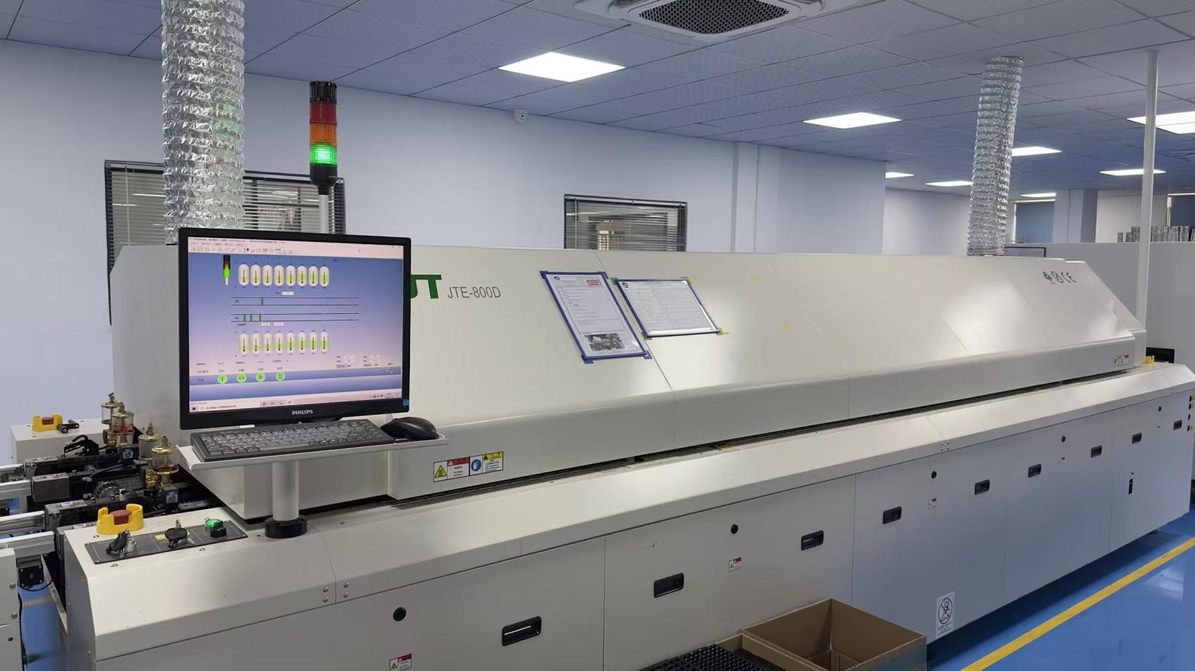
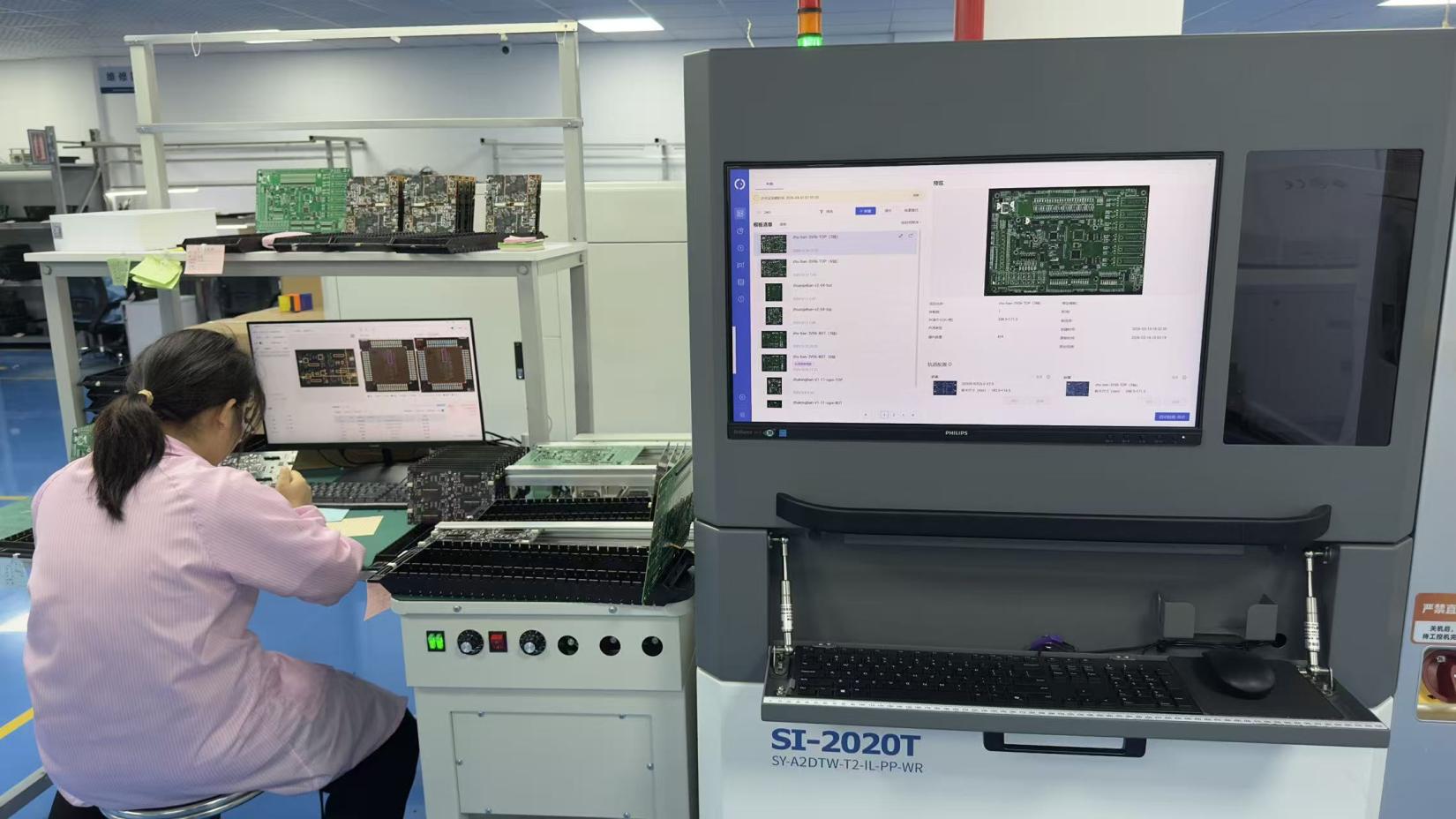
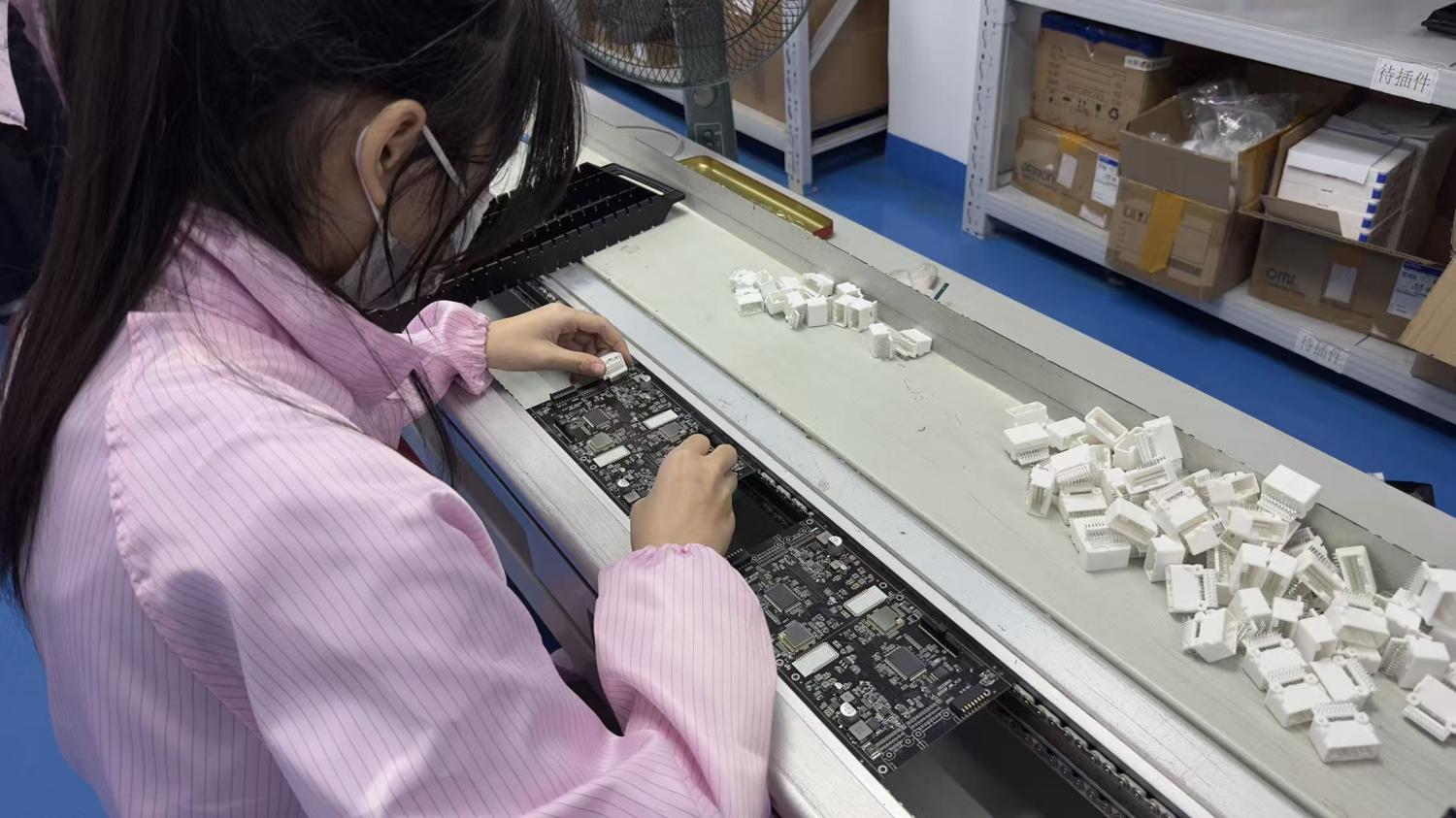
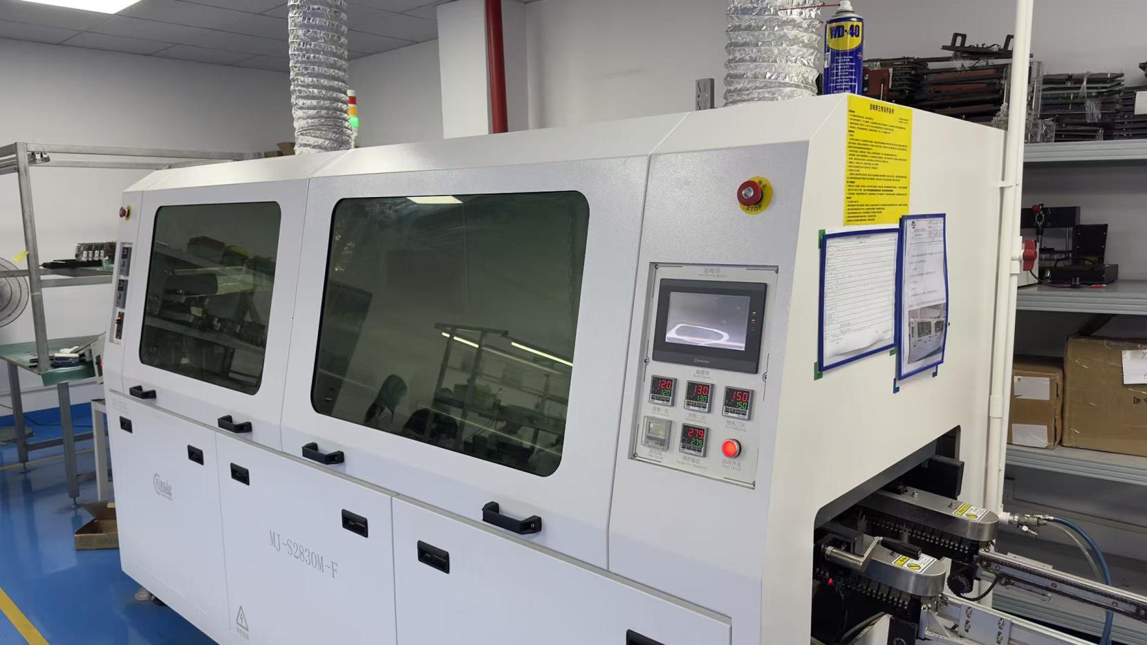
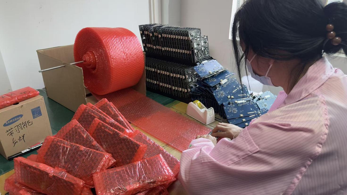
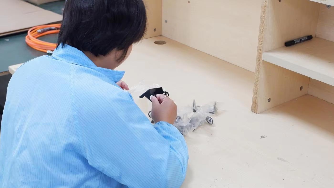
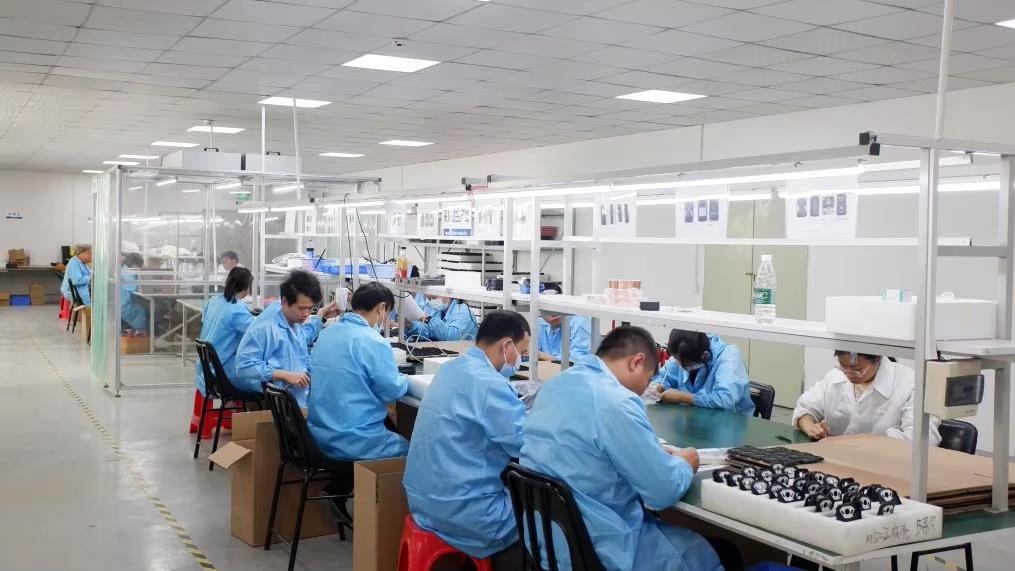
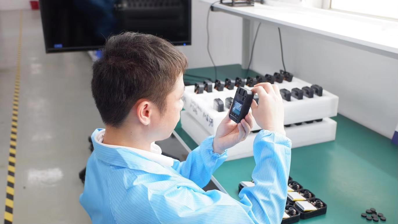
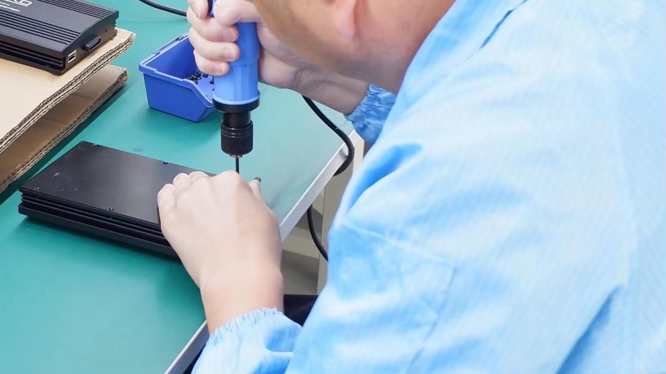
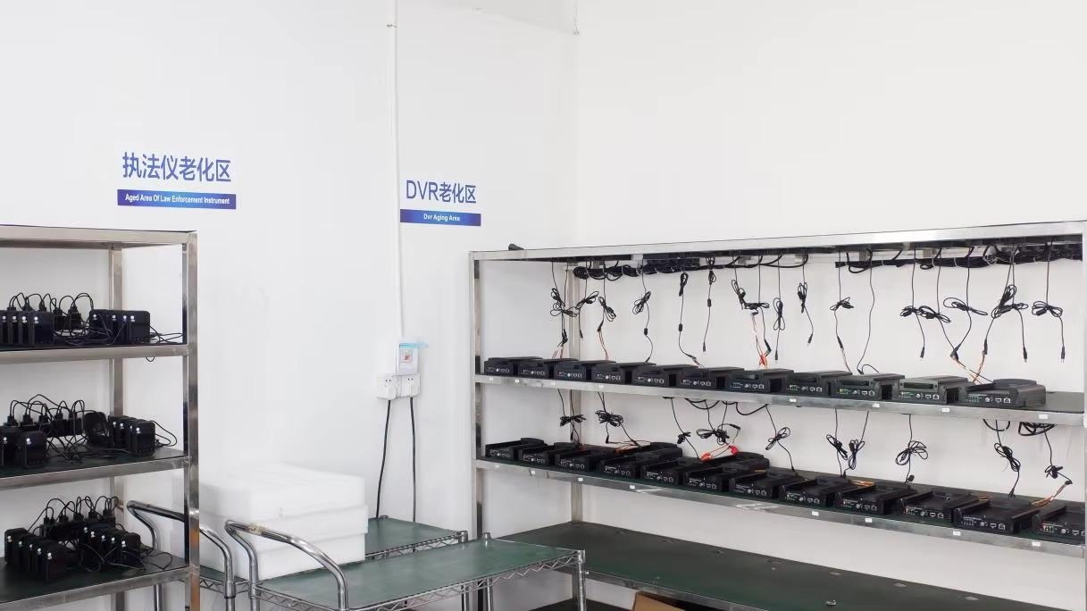
A step-by-step look at our advanced production lines, from raw wafer inspection to automated assembly and testing.

Technical guidance and sourcing support from our R&D engineering leads.
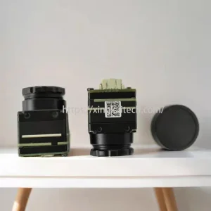
Explore our wider range of thermal cores, sensors, and security monitoring equipment.